Gunung Mulu National Park, Sarawak
Introduction and History
The Gunung Mulu National Park is situated close to the southern border of Brunei with Malaysia, about 100km east-southeast of the town of Miri and 100km due south of Bandar Seri Begawan, Brunei. It lies between the headwaters of the Tutuh River, a tributary of the Baram River and covers 544km2, ranging in elevation from 50 meters to 2,376 meters. The park is important for its high biodiversity and unique karst (limestone) features. Besides that, it contains seventeen vegetation zones, exhibiting some 3,500 species of vascular plants. It was first constituted on 3 October 1974 but only opened to public in 1985.
The climate here is determined by the Indo-Australian monsoon system. From December to March, it will encounter the wet northeast monsoon and the slightly drier southwest monsoon from May to October. Generally, rainfall is high here with seasonal averages ranging from 4,000 to 5,000mm. Temperatures in the Melinau lowlands range from 23ºC to 26ºC and at Gunung Mulu between 14ºC to 18ºC.
The Park has three mountains, Gunung Mulu 2,376m, Gunung Api 1,750m and Gunung Benarat 1,585m. Many of Mulu’s attractions lie deep below the surface. Hidden right underneath the forested slopes of these mountains is one of the largest limestone cave systems in the world. The Park has a number of world record-breaking caves such as the Sarawak Chamber – largest cave chamber in the world, Deer Cave – largest cave passage and the Clearwater Cave – longest cave in Southeast Asia. There are at least 300km more of explored caves, which provides a spectacular sight. These caves are also home to millions of cave swiftlets and bats.
The oldest of Mulu’s caves started to form about 5 million years ago when sideways earth movements resulted in the formation of both limestone and sandstone mountains, lying side by side. Millions of years of heavy rain and the action of rivers and running water carved out the vast subterranean system that exists today. The weathering process still continues; dripping water creates new rock features, limestone is slowly worn away, and underground rivers carve and sculpt the caves, transporting limestone debris to the cave mouth or redistributing it within the system.
Flora and Fauna
There are seventeen vegetation zones, which have been recognized, and over 3,500 plant species recorded and 1,500 flowering plants identified.
Gunung Massive, lowland dipterocarp forest occurs up to an altitude of 800 meters and 284 tree species have been recorded. Between 800 meters to 1,200 meters, Quercus Subsericea dominates the lower montane forest. Upper motane forest displaces between 1,200 meters to 2,177 meters where small tree and shrub layer can be found like Rhododendron and Vaccinium and some other pitcher plants like Nepenthes lowii, N. tentaculata and N.muluensis.
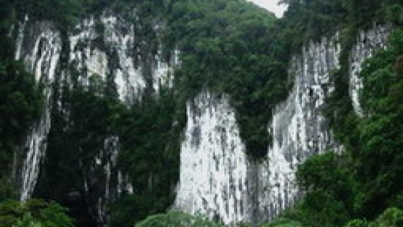
Limestone forest occurs on the Melinau Limestone Formation, which includes limestone forest; limestone cliff vegetation, lowland limestone montane forest, upper motane limestone forest and limestone cave vegetation. Many endemic calcerous species are represented in this area; the limestone flora is one of the most diverse and best preserved in Southeast Asia.
The alluvial plain in the park comprises of lowland alluvial forest, tropical heath forest, peat swamp and riparian forest. It is the most complex vegetation formation in the park. Some emergent species attain a height of forty meters, with maximum girths of 250m.
Gunung Mulu National Park is also considered to be one of the richest sites in the world for palms, with approximately 111 species and 20 genera recorded. These are Wild sago palm, which occurs on the steep slopes of Gunung Mulu; Iguanura melinauensis and Licuala Lanata are endemic to the alluvial plain; Calamus Neilsonii and Salacca are endemic to the limestone.
About 1,700 species of liverworts and mosses have been recorded. Examples of endemic mosses to the park include Hypnodendron beccarii and H. vitiense. The very rare bogmoss can also be found in rain gullies in the high forest. There are also a great number of spore producing plants, occurring in the park. To date 442 species have been identified, many of which are ferns. In addition 4,000 species of fungi have been recorded.
Fauna species, including 81 mammalian species were found. Important mammal species such as the Malayan Pangolin and 2 species of endemic Borneo squirrels; the tufted ground squirrel and the plain pigmy squirrel have been identified in the park. The Savi pigmy shrew, the smallest mammal in the world, weighing only 2 grams is also found. Other than that, 28 species of bats have been recorded, which is one of the highest numbers in South East Asia. The largest colonies of free tailed bats, wrinkle-lipped bats can be found in Deer Cave including 12 different bat species, the Lesser tailless round leaf and the Orange-tube nosed bat that have not been seen anywhere else in Borneo.
The Park also recorded 270 bird species where out of the 29 endemic Borneo species, 26 have been recorded. There are 8 of Borneo’s hornbill species have been identified including the wrinkled hornbill. Other species include Bulwer’s Pheasant, crested fire back pheasant, Storm’s stork, and the Bamboo muni which is endemic to Borneo and has only been found in Mulu and Kinabalu
A total number of 25 snake species have been identified. This include regal python, reed snake and poisonous snakes like the banded-coral snake, the red headed krait and the white-spotted cat snake. Two-thirds of all known amphibian species occurring in Borneo can be found at the nominated site, including Wallace’s flying frog and the significance is the Philautus that only breeds in the fluid of the pitcher plant and 27 species of lizard have been identified.
Others existed in the park are 76 species of amphibians and 48 species of fish.
Attraction and activities
Mulu has three adventure treks, all of which require a certain level of physical fitness. You need basic camping gear, as it is useful if you are planning to stay overnight in the jungle base camps. Trekkers must be accompanied by official park guides. Most tour operators can assist with travel arrangements for these treks and also can supply any necessary equipment and food.
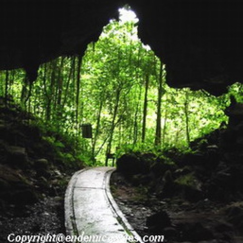
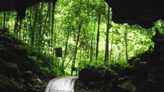
You can reach the Deer Cave by following a three kilometers plankwalk path where you will pass through peat swamp, alluvial flats and limestone outcrops including some superb rainforest, jungle streams and an ancient Penan burial cave.
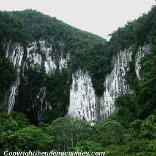
Upon reaching the cave entrance, there is no doubt that you are about to enter the largest cave passage in the world. The cave is simply huge, over 2 kilometers in length and not less than 90 meters high and wide. The main chamber, which is partially lit by sunlight, is 174 meters wide and 122 meters high. Deer used to shelter at this cave and this explains why the name Gua Rusa (Deer Cave) was given by the local Penan and Berawan people.
Deer Cave is home to many species of bats. If the weather is fine, visitors may be treated to the spectacular sight of a black cloud of free-tailed bats merging from the entrance of the cave to go in search of food between 5 and 7pm. Initially, this cloud was thought to contain hundreds of thousands of bats, but recently according to a study it was known that the figure is well over 1.3 millions. These bats help to control pests on crops around the vicinity of the caves. They get rid of insects like mosquitoes. It was estimated that each bat could eat 10gms of insects or fruits per day.
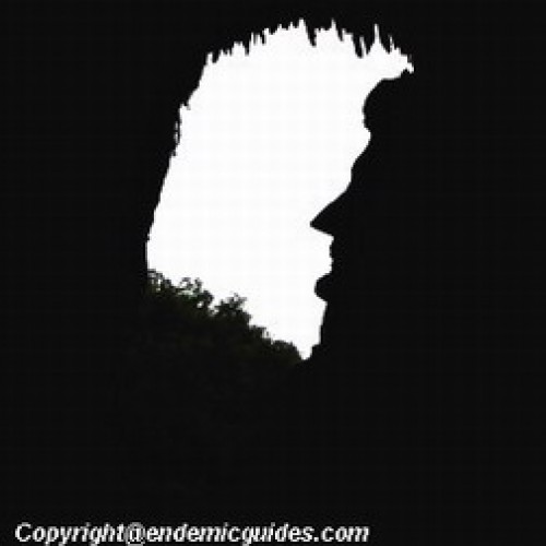
There is a path leads into the cave and winds its way around, follow the natural contours of the cave floor. This path eventually leads to the “Garden of Eden” where a hole in the cave roof lets in a shaft of light, which allows the rich green vegetation to thrive. Another feature is the famous profile of Abraham Lincoln, which guards the southern entrance of the cave.
A visit to Deer Cave is usually combined with one to Lang’s Cave, whose entrance is a short distance away from that of Deer Cave. Lang’s Cave is the smallest of the show caves but its rock formations are well worth seeing. These are more attractive, as all are strategically positioned spotlights, which highlight stalactites and stalagmites.
Clearwater Cave is Asia’s longest cave and also rated as 7th longest cave passage in the world. It measures 107km. It has a subterranean river, part of which is navigable by boat.
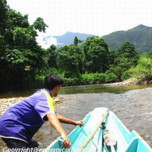
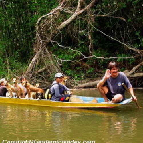
There are two ways to access Clearwater Cave. First, you can trek a 4 km nature trail, which takes about one and half hours. Alternatively, you can take the longboat cruise along the Melinau River where it stops at Wind Cave. This usually take 15 minutes but, if the water level is low, the journey might takes longer as the boatman often has to jump out of the boat and push.
Wind Cave, which is part of the Clearwater Cave system, has many impressive stalactites, stalagmites, flowrocks, helitites and rock corals, some of which are illuminated in the ‘King’s Room.’
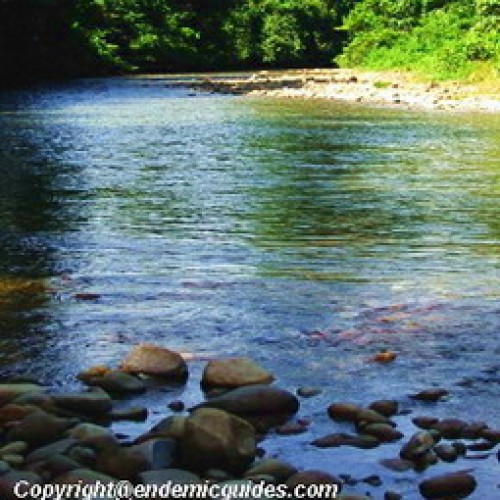
After visiting these caves, visitors can climb down the steps to the picnic area. There is a crystal clear pool at the area filled by water that flows out from the caves which is an excellent swimming spot. Visitors can also choose to relax on the picnic benches and admire the rainforest scenery, or perhaps watch the swarms of butterflies that are often found fluttering around the riverbank. If you are lucky, you might see the Rajah Brooke butterfly with its huge bright-green coloured wings.
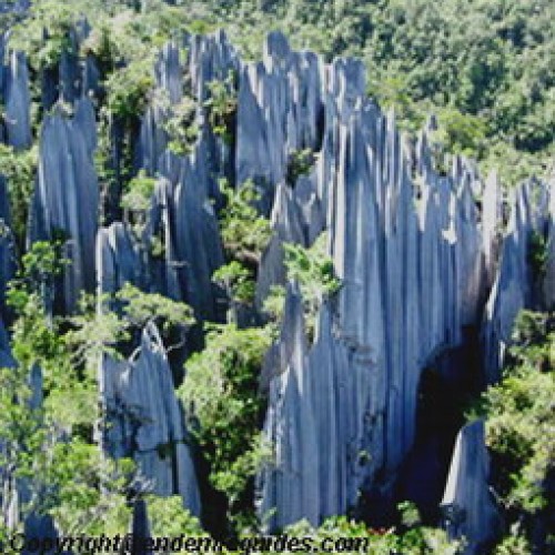
Mulu’s famous Pinnacles, which are a mid-way up the slopes of Gunung Api, consist a series of 45 meters high, razor-sharp limestone spikes that tower above the surrounding vegetation. The trek to view them is one of the most popular in the park, yet it is tough and challenging as the trail itself is very steep and requires a certain level of fitness.
The Headhunter’s Trail is a great way of entering or leaving Gunung Mulu National Park.
The trek is organised by travel operators. It combines upriver travel, jungle trekking and an overnight stay at an Iban longhouse. The trail itself follows the route taken by Kayan headhunting parties who paddled up the Melinau River to the Melinau Gorge. From there, they dragged their longboats through the forest for 3 km until they reached the banks of the Terikan River, where they launched headhunting raids against the people of the Limbang area.
The Headhunter’s Trail can also be done in reverse, starting from Limbang and ending up at the park HQ. Either way the trek offers an excellent introduction to the rivers and rainforest of Mulu and the added attraction of a longhouse visit. Visitors have the option to climb the Pinnacles as part of their Headhunter’s Trail package as the trek includes an overnight stay at Camp 5.
The toughest trek in the park is the climb to the summit of Gunung Mulu (2,376 m). It requires a high level of fitness. In the 19th Centrury, two old ‘Borneo hands’, Spenser St John and Charles Hose, attempted to conquer Mount Mulu, but expedition failed. It was not until 1920’s, when Tama Nilong discovered the ‘south-west’ ridge way to the summit. In 1932, Tama Nilong led Lord Shackleton and an Oxford University Expedition to the summit of Mulu.
Since then, the route discovered in 1920’s was used as the trail to summit. The trek is usually done by a 4-day hike, but experienced trekkers can do it in less. It involves overnight stops at jungle camps. A number of wooden huts are positioned along the trail, which provide shelter for overnight stops. Trekkers should well prepare with good trekking shoes, sleeping bag, food supplies, cooking utensils and sufficient water before the trek. Along the trail, trekkers can experience the rainforest and perhaps see some rare animals and birds, including various species of Hornbill.
Facilities
Visitors are required to register at the Park HQ upon arrival. There is a good information centre next to the registration counter. Book your accommodation in advance. Bring a raincoat, torch and camera flash along. Non-slip shoes are essential as the trails are slippery. Plan for at least 2 days’ stay in the park to visit the cave system.
No camping equipment will be provided by the Park. Therefore, bring your own sleeping bags (2 seasons) for Camp 5 are sufficient, but for the Summit Trail, warmer equipment is recommended. Visitors who are going for Adventure Caving must bring their own caving equipments, as the park does not supply them. The Park HQ also has a canteen, which sells drinks and meals.
Getting there
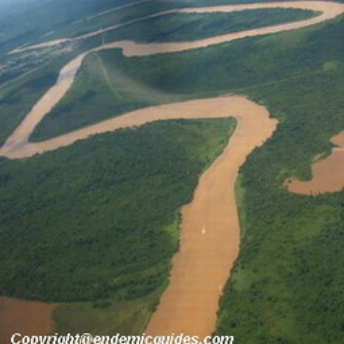
You can access using the main gateway for Gunung Mulu National Park at Miri, Northeast Flight is also available by Malaysian Airlines, which operates scheduled services from Miri to Mulu using a 19 seater Twin Otter aircraft. It takes approximately 45 minutes to reach and you can get a very nice bird view of the rainforest.
Alternatively, you can travel by boat at Marudi. However, longboats must be chartered, as there is no regular boat service on the last section of the trip.
Mulu National Park Contacts:
Tel: (60) 85 434184 or 085 436637 (Miri)
Fax: (60) 85 417629

